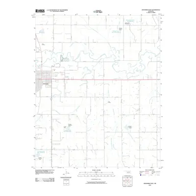
2009 Map of Anadarko East
USGS Topo · Published 2009About this map
The Washita River meanders across this landscape just east of the city of Anadarko, defining a terrain shaped by the convergence of several major tributaries. In this 2009 snapshot, the area is notably defined by a complex network of flood control structures and reservoirs, including Spring Creek Site 102 Reservoir in the north and several catchments along Tonkawa Creek. These man-made features reflect mid-to-late 20th-century water management efforts across the Caddo County prairie.
Find a feature on this map
39 named features on this map. Tap any name to fly to it.
Don’t see what you’re looking for? This feature index may not catch every label — zoom into the map to look around manually.
Map Details
Editions of this 2009 Anadarko East Map
This is the sole edition of this map. No revisions or reprints were ever made.
Other maps of this area

1945 · Anadarko
USGS Topo · 1:62,500

1949 · Cement
USGS Topo · 1:62,500

1951 · Fort Cobb
USGS Topo · 1:62,500

1955 · Lawton
USGS Topo · 1:250,000

1955 · Clinton
USGS Topo · 1:250,000

1956 · Laverty
USGS Topo · 1:24,000
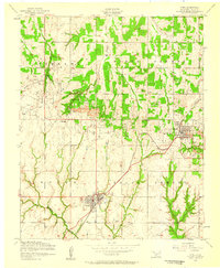
1956 · Cyril
USGS Topo · 1:24,000

1956 · Apache
USGS Topo · 1:24,000

1956 · Apache
USGS Topo · 1:62,500
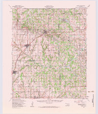
1956 · Cement
USGS Topo · 1:62,500