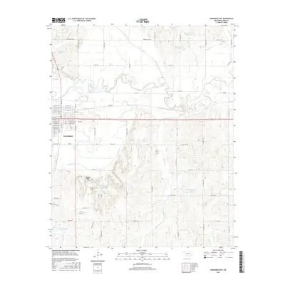
2016 Map of Anadarko East
USGS Topo · Published 2016About this map
Anadarko serves as the focal point of this Oklahoma landscape, situated where the Washita River meanders through Caddo County. The map details the town’s established street grid, including W Main St and E Kentucky Ave, transitioning into a rural environment dominated by drainage systems and conservation reservoirs. The terrain is defined by the winding paths of Sugar Cr and Tonkawa Cr, which feed into several flood-control structures such as Tonkawa Cr Site 5 Reservoir and Delaware Creek Site 8 Reservoir.
Find a feature on this map
61 named features on this map. Tap any name to fly to it.
Don’t see what you’re looking for? This feature index may not catch every label — zoom into the map to look around manually.
Map Details
Editions of this 2016 Anadarko East Map
This is the sole edition of this map. No revisions or reprints were ever made.
Other maps of this area

1945 · Anadarko
USGS Topo · 1:62,500

1949 · Cement
USGS Topo · 1:62,500

1951 · Fort Cobb
USGS Topo · 1:62,500

1955 · Lawton
USGS Topo · 1:250,000

1955 · Clinton
USGS Topo · 1:250,000

1956 · Laverty
USGS Topo · 1:24,000
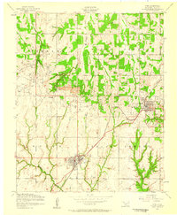
1956 · Cyril
USGS Topo · 1:24,000

1956 · Apache
USGS Topo · 1:24,000

1956 · Apache
USGS Topo · 1:62,500
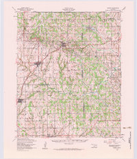
1956 · Cement
USGS Topo · 1:62,500