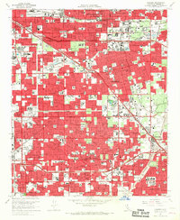
1965 Map of Anaheim
USGS Topo · Published 1967About this map
Disneyland and the burgeoning suburban core of Orange County define this mid-1960s landscape, captured just as the region’s citrus groves were being fully replaced by residential grids and major infrastructure. The footprint of Anaheim Stadium and Knott's Berry Farm appear alongside massive transportation corridors like the Santa Ana Freeway and Riverside Freeway, reflecting the car-driven growth of the era. The industrial and transit legacy of the Santa Ana Valley remains visible through the extensive rail networks of the Atchison Topeka and Santa Fe, Southern Pacific, and Pacific Electric lines. Civic and social life is anchored by landmarks such as the Orange County Hospital, Fullerton City Hall, and dozens of parochial and public institutions like St Catherine Military Sch. Local water management is evident in the channelized Santa Ana River and Carbon Creek, illustrating the engineered transition from a rural plain to a dense metropolitan center.
Find a feature on this map
161 named features on this map. Tap any name to fly to it.
Don’t see what you’re looking for? This feature index may not catch every label — zoom into the map to look around manually.
Map Details
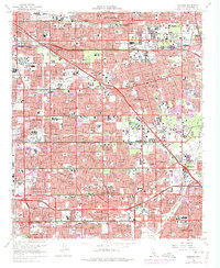
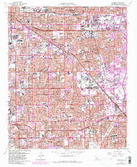
Editions of this 1965 Anaheim Map
3 editions found
Other maps of this area

1896 · Santa Ana
USGS Topo · 1:62,500

1896 · Anaheim
USGS Topo · 1:62,500

1896 · Las Bolsas
USGS Topo · 1:62,500

1896 · Downey
USGS Topo · 1:62,500

1898 · Anaheim
USGS Topo · 1:62,500

1899 · Downey
USGS Topo · 1:62,500

1901 · Southern California Sheet No. 1
USGS Topo · 1:250,000

1901 · Santa Ana
USGS Topo · 1:62,500

1901 · Anaheim
USGS Topo · 1:62,500

1902 · Downey
USGS Topo · 1:62,500