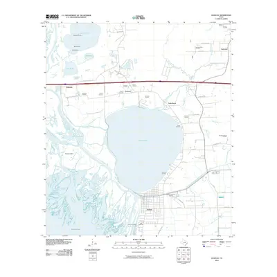
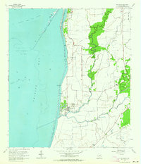
2010 Map of Anahuac
USGS Topo · Published 2010About this map
Lake Anahuac dominates this coastal landscape, serving as a focal point between the established settlement of Anahuac and the sprawling wetlands of the Trinity River delta. The area is steeped in early Texas history, evidenced by Old Fort Anahuac and Fort Anahuac situated at the mouth of the river where it meets Trinity Bay. The map reveals a complex hydraulic network of bayous and passes, including John Wiggins Bayou and Southwest Pass, alongside the industrial presence of the Trinity Bay Oil Field. Genealogy researchers will find significant value in the high density of family-named burial sites scattered across the landscape, such as the Benjamin Barrow Cemetery, Godfrey Cemetery, and Tom Richardson Cemetery. This 2010 survey illustrates the coexistence of historic coastal fortifications, traditional river-dependent settlements, and modern infrastructure like the Chambers County Airport.
Find a feature on this map
70 named features on this map. Tap any name to fly to it.
Don’t see what you’re looking for? This feature index may not catch every label — zoom into the map to look around manually.
Map Details
Editions of this 2010 Anahuac Map
This is the sole edition of this map. No revisions or reprints were ever made.
Other maps of this area

1942 · Anahuac
USGS Topo · 1:24,000

1943 · West of Eagle
USGS Topo · 1:31,680

1943 · Whites Bayou
USGS Topo · 1:24,000

1950 · Houston
USGS Topo · 1:250,000

1956 · Houston
USGS Topo · 1:250,000
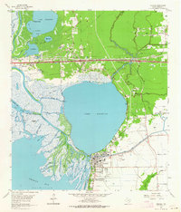
1961 · Anahuac
USGS Topo · 1:24,000
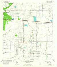
1961 · Monroe City
USGS Topo · 1:24,000
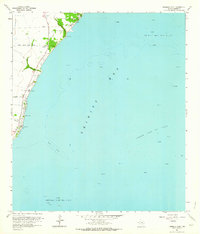
1961 · Umbrella Point
USGS Topo · 1:24,000
1961 · Oak Island
USGS Topo · 1:24,000

1961 · Shiloh
USGS Topo · 1:24,000