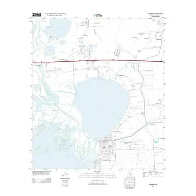
2013 Map of Anahuac
USGS Topo · Published 2013About this map
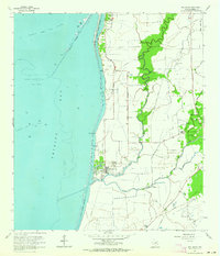
The Trinity River delta dominates this coastal landscape, where the river fans out into complex waterways like Smith Bayou and Old River Pass before entering Trinity Bay. The settlement of Anahuac sits at the edge of Lake Anahuac, serving as a focal point for the region's historic transition from a defensive outpost at Old Fort Anahuac to a modern center of local industry. This 2013 survey illustrates the dense network of family heritage preserved in numerous local burial grounds, including the Baxter Cem, Bayshore Cem, and the Wallisville Cem near the river bend.
Find a feature on this map
130 named features on this map. Tap any name to fly to it.
Don’t see what you’re looking for? This feature index may not catch every label — zoom into the map to look around manually.
Map Details
Editions of this 2013 Anahuac Map
This is the sole edition of this map. No revisions or reprints were ever made.
Other maps of this area

1942 · Anahuac
USGS Topo · 1:24,000

1943 · West of Eagle
USGS Topo · 1:31,680

1943 · Whites Bayou
USGS Topo · 1:24,000

1950 · Houston
USGS Topo · 1:250,000

1956 · Houston
USGS Topo · 1:250,000
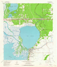
1961 · Anahuac
USGS Topo · 1:24,000
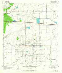
1961 · Monroe City
USGS Topo · 1:24,000
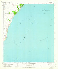
1961 · Umbrella Point
USGS Topo · 1:24,000
1961 · Oak Island
USGS Topo · 1:24,000

1961 · Shiloh
USGS Topo · 1:24,000