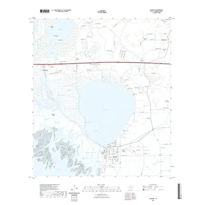
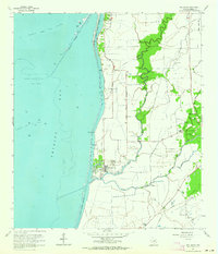
2022 Map of Anahuac
USGS Topo · Published 2022About this map
The Chambers County Courthouse serves as the focal point for the coastal community of Anahuac, situated where the Trinity River meets Trinity Bay. This landscape is defined by the complex water systems of the Texas Gulf Coast, featuring the large expanse of Lake Anahuac and a labyrinth of bayous such as Barge Bayou and Turtle Bayou. To the north, the settlement of Wallisville and the community of Hankamer are connected by a network of rural roads and family-named cemeteries.
Find a feature on this map
105 named features on this map. Tap any name to fly to it.
Don’t see what you’re looking for? This feature index may not catch every label — zoom into the map to look around manually.
Map Details
Editions of this 2022 Anahuac Map
This is the sole edition of this map. No revisions or reprints were ever made.
Other maps of this area

1942 · Anahuac
USGS Topo · 1:24,000

1943 · West of Eagle
USGS Topo · 1:31,680

1943 · Whites Bayou
USGS Topo · 1:24,000

1950 · Houston
USGS Topo · 1:250,000

1956 · Houston
USGS Topo · 1:250,000
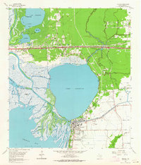
1961 · Anahuac
USGS Topo · 1:24,000
1961 · Monroe City
USGS Topo · 1:24,000
1961 · Umbrella Point
USGS Topo · 1:24,000
1961 · Oak Island
USGS Topo · 1:24,000

1961 · Shiloh
USGS Topo · 1:24,000