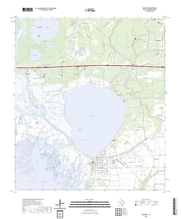
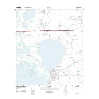
2025 Map of Anahuac
USGS Topo · Published 2025About this map
Anahuac serves as the focal point for this coastal Texas landscape, centered around the Chambers County Courthouse and the expansive Lake Anahuac. The geography is defined by a complex network of bayous and river passes where the Trinity River meets the bay, including Little Hog Bayou, Big Hog Bayou, and the Old River Cutoff. This map is particularly dense with genealogical sites, documenting numerous family and community burial grounds such as Wallis Hill Cem, Benjamin Barrow Cem, and John Raymond Cem scattered across the lowlands near Wallisville.
Find a feature on this map
111 named features on this map. Tap any name to fly to it.
Don’t see what you’re looking for? This feature index may not catch every label — zoom into the map to look around manually.
Map Details
Editions of this 2025 Anahuac Map
This is the sole edition of this map. No revisions or reprints were ever made.
Historical Maps of Anahuac Through Time
10 maps found
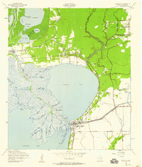
1942 Anahuac
Chambers County, TX
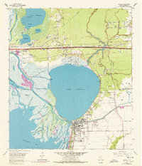
1961 Anahuac
Chambers County, TX

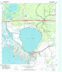
1983 Anahuac
Chambers County, TX
1993 Anahuac
Chambers County, TX

2010 Anahuac
Chambers County, TX
2013 Anahuac
Chambers County, TX
2016 Anahuac
Chambers County, TX
2019 Anahuac
Chambers County, TX
2022 Anahuac
Chambers County, TX
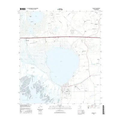
2025 Anahuac
Chambers County, TX