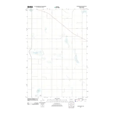
2011 Map of Anamoose SW
USGS Topo · Published 2011About this map
Berlin Cemetery sits at the southern edge of this McHenry County landscape, a marker of the local community amidst an extensive network of prairie wetlands. The terrain is characterized by numerous prominent water bodies, including the expansive Alkali Lake and Mud Lake, which are interconnected by a grid of rural roads like 18th Ave NE and 28th St NE. This drainage pattern, featuring Wolf Lake and Steele Lake, indicates the low-lying nature of the Drift Prairie. The lack of concentrated town sites on this map highlights the area's agricultural character, where life was organized around section lines and the natural catchments of the North Dakota plains.
Find a feature on this map
18 named features on this map. Tap any name to fly to it.
Don’t see what you’re looking for? This feature index may not catch every label — zoom into the map to look around manually.
Map Details
Editions of this 2011 Anamoose SW Map
This is the sole edition of this map. No revisions or reprints were ever made.
Other maps of this area

1930 · Drake
USGS Topo · 1:62,500

1940 · Aylmer
USGS Topo · 1:62,500

1946 · Sheyenne Lake
USGS Topo · 1:48,000

1947 · Lincoln Valley
USGS Topo · 1:62,500

1947 · Sheyenne Lake
USGS Topo · 1:62,500

1950 · Sheyenne Lake NE
USGS Topo · 1:24,000

1950 · Sheyenne Lake
USGS Topo · 1:24,000

1951 · Martin
USGS Topo · 1:24,000

1951 · Anamoose SW
USGS Topo · 1:24,000

1954 · McClusky
USGS Topo · 1:250,000