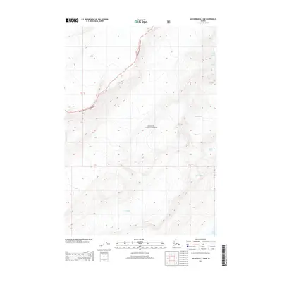
2013 Map of Anchorage A-3 NW
USGS Topo · Published 2013About this map
Chugach National Forest provides the setting for this study of coastal glacial systems north of College Fiord. The landscape is dominated by a series of ice flows named for Ivy League and Seven Sisters colleges, reflecting a historical naming tradition from early 20th-century exploration. The massive Knik Glacier and Barry Glacier occupy the northern and central portions of the quadrangle, while smaller glaciers like Coxe Glacier and Holyoke Glacier drain toward the southern coastline. This 2013 survey illustrates the complex topography of the Chugach Mountains, where high-altitude ice fields feed multiple distinct glaciers such as Bryn Mawr Glacier and Vassar Glacier, charting the extent of these frozen rivers before they reach the tidal waters of the fjord.
Find a feature on this map
12 named features on this map. Tap any name to fly to it.
Don’t see what you’re looking for? This feature index may not catch every label — zoom into the map to look around manually.
Map Details
Editions of this 2013 Anchorage A-3 NW Map
This is the sole edition of this map. No revisions or reprints were ever made.
Other maps of this area

1951 · Anchorage
USGS Topo · 1:250,000

1960 · Anchorage A-4
USGS Topo · 1:63,360

1960 · Anchorage A-3
USGS Topo · 1:63,360

1960 · Anchorage B-4
USGS Topo · 1:63,360

1960 · Anchorage B-3
USGS Topo · 1:63,360

1962 · Anchorage
USGS Topo · 1:250,000

1979 · Anchorage
USGS Topo · 1:250,000

1994 · Anchorage B-4
USGS Topo · 1:63,360
2013 · Anchorage B-3 SE
USGS Topo · 1:25,000
2013 · Anchorage A-4 NE
USGS Topo · 1:25,000