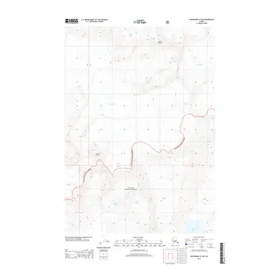
2013 Map of Anchorage A-4 NE
USGS Topo · Published 2013About this map
Mount Gannett and Mount Gilbert anchor this high-elevation glacial landscape within the Chugach National Forest. The map documents a complex system of ice and water, dominated by the massive Gannett Glacier and Knik Glacier in the north, while the Colony Glacier carves through the central terrain. This 2013 survey provides a precise view of the cryosphere as it existed early in the century, showing the drainage patterns of the Serpentine Glacier and Cascade Glacier as they flow toward the southern coastal interface. To the southeast, the Barry Glacier meets the saltwater of Barry Arm, illustrating the dramatic meeting point of mountain ice and the sea. The absence of roads or settlements underscores the wilderness character of this region, where elevation contours and ice fields are the primary features of the land.
Find a feature on this map
12 named features on this map. Tap any name to fly to it.
Don’t see what you’re looking for? This feature index may not catch every label — zoom into the map to look around manually.
Map Details
Editions of this 2013 Anchorage A-4 NE Map
This is the sole edition of this map. No revisions or reprints were ever made.
Other maps of this area

1951 · Anchorage
USGS Topo · 1:250,000

1960 · Anchorage A-4
USGS Topo · 1:63,360

1960 · Anchorage A-3
USGS Topo · 1:63,360

1960 · Anchorage B-4
USGS Topo · 1:63,360

1960 · Anchorage B-3
USGS Topo · 1:63,360

1962 · Anchorage
USGS Topo · 1:250,000

1979 · Anchorage
USGS Topo · 1:250,000

1994 · Anchorage B-4
USGS Topo · 1:63,360
2013 · Anchorage B-4 SW
USGS Topo · 1:25,000
2013 · Anchorage A-3 NW
USGS Topo · 1:25,000