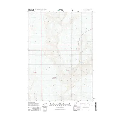
2016 Map of Anchorage A-5 SE
USGS Topo · Published 2016About this map
The Chugach National Forest provides the setting for this topographic study, where massive ice formations and glacial systems dominate the terrain. High-elevation features like the Ted Stevens Icefield feed into a network of flowing ice, including the Lake George Glacier and the Surprise Glacier. The absence of roads or permanent settlements in this region emphasizes the dominance of the natural landscape, where elevation contours reveal steep slopes and significant glacial valleys. On the eastern edge, the Stairway Glacier descends through the mountain passes, illustrating the physical processes that continue to shape this portion of the Anchorage Municipality. The map primarily records these glaciological landmarks and federal land boundaries, serving as a baseline for the state of these ice fields in the early twenty-first century.
Find a feature on this map
9 named features on this map. Tap any name to fly to it.
Don’t see what you’re looking for? This feature index may not catch every label — zoom into the map to look around manually.
Map Details
Editions of this 2016 Anchorage A-5 SE Map
This is the sole edition of this map. No revisions or reprints were ever made.
Other maps of this area

1951 · Seward
USGS Topo · 1:250,000

1951 · Anchorage
USGS Topo · 1:250,000

1951 · Seward D-5
USGS Topo · 1:63,360

1951 · Seward D-4
USGS Topo · 1:63,360

1952 · Seward D-5
USGS Topo · 1:63,360

1952 · Seward D-4
USGS Topo · 1:63,360

1953 · Seward
USGS Topo · 1:250,000

1959 · Seward
USGS Topo · 1:250,000

1960 · Anchorage A-5
USGS Topo · 1:63,360

1960 · Anchorage A-4
USGS Topo · 1:63,360