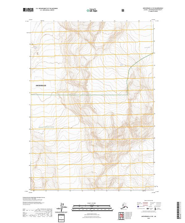
2023 Map of Anchorage A-5 SE
USGS Topo · Published 2023About this map
Chugach National Forest dominates this topographic study of the high-altitude terrain within the Anchorage municipality. The map captures a landscape defined by glacial activity and severe elevation changes, where massive ice bodies like Stairway Glacier and Surprise Glacier are central features of the local environment. This modern survey, produced by the U.S. Geological Survey in cooperation with the U.S. Forest Service, provides a precise look at the township and range lines across t12n r4e and t12n r5e. While devoid of traditional settlements or roads, the map serves as a vital record of the shifting glacial boundaries and protected federal lands in this part of Alaska.
Find a feature on this map
8 named features on this map. Tap any name to fly to it.
Don’t see what you’re looking for? This feature index may not catch every label — zoom into the map to look around manually.
Map Details
Editions of this 2023 Anchorage A-5 SE Map
This is the sole edition of this map. No revisions or reprints were ever made.
Other maps of this area

1951 · Seward
USGS Topo · 1:250,000

1951 · Anchorage
USGS Topo · 1:250,000

1951 · Seward D-5
USGS Topo · 1:63,360

1951 · Seward D-4
USGS Topo · 1:63,360

1952 · Seward D-5
USGS Topo · 1:63,360

1952 · Seward D-4
USGS Topo · 1:63,360

1953 · Seward
USGS Topo · 1:250,000

1959 · Seward
USGS Topo · 1:250,000

1960 · Anchorage A-5
USGS Topo · 1:63,360

1960 · Anchorage A-4
USGS Topo · 1:63,360