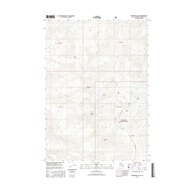
2016 Map of Anchorage A-6 SW
USGS Topo · Published 2016About this map
The Chugach National Forest dominates this high-altitude landscape, where glacial ice and mountain passes define the terrain north of Girdwood. This 2016 survey captures a wilderness characterized by active ice flows, including the Raven Glacier, Crow Glacier, and Milk Glacier. The historic route of the Crow Pass Trail serves as the primary artery through the mountains, winding past Crystal Lake and over Crow Pass itself.
Find a feature on this map
27 named features on this map. Tap any name to fly to it.
Don’t see what you’re looking for? This feature index may not catch every label — zoom into the map to look around manually.
Map Details
Editions of this 2016 Anchorage A-6 SW Map
This is the sole edition of this map. No revisions or reprints were ever made.
Other maps of this area

1951 · Seward
USGS Topo · 1:250,000

1951 · Anchorage
USGS Topo · 1:250,000

1951 · Seward D-7
USGS Topo · 1:63,360

1951 · Seward D-6
USGS Topo · 1:63,360

1952 · Seward D-6
USGS Topo · 1:63,360

1952 · Seward D-7
USGS Topo · 1:63,360

1953 · Seward
USGS Topo · 1:250,000

1959 · Seward
USGS Topo · 1:250,000

1960 · Anchorage A-6
USGS Topo · 1:63,360

1960 · Anchorage A-7
USGS Topo · 1:63,360