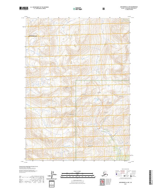
2023 Map of Anchorage A-6 SW
USGS Topo · Published 2023About this map
The Iditarod National Historic Trail winds through this high-elevation corridor within the Chugach National Forest, following a path between steep peaks and active ice fields. The landscape is defined by its glaciology, where the Raven Glacier, Clear Glacier, and Milk Glacier terminate in narrow valleys, feeding a network of alpine streams such as Raven Creek and Milk Creek. This terrain illustrates the vital importance of mountain passes for movement through the region, most notably at Crow Pass and Moraine Pass.
Find a feature on this map
31 named features on this map. Tap any name to fly to it.
Don’t see what you’re looking for? This feature index may not catch every label — zoom into the map to look around manually.
Map Details
Editions of this 2023 Anchorage A-6 SW Map
This is the sole edition of this map. No revisions or reprints were ever made.
Other maps of this area

1951 · Seward
USGS Topo · 1:250,000

1951 · Anchorage
USGS Topo · 1:250,000

1951 · Seward D-7
USGS Topo · 1:63,360

1951 · Seward D-6
USGS Topo · 1:63,360

1952 · Seward D-6
USGS Topo · 1:63,360

1952 · Seward D-7
USGS Topo · 1:63,360

1953 · Seward
USGS Topo · 1:250,000

1959 · Seward
USGS Topo · 1:250,000

1960 · Anchorage A-6
USGS Topo · 1:63,360

1960 · Anchorage A-7
USGS Topo · 1:63,360