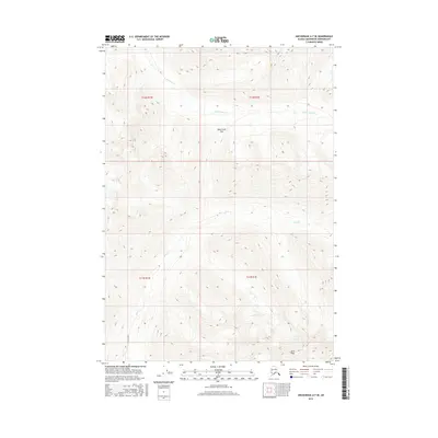
2016 Map of Anchorage A-7 SE
USGS Topo · Published 2016About this map
Bird Creek Pass marks the high-altitude divide in this 2016 study of the Chugach Mountains, where the drainage systems of Bird Creek and the North Fork Ship Creek meet. The map reveals the dramatic glaciated topography of the Anchorage Municipality, characterized by the steep ascent to Bird Peak and the terminal reaches of Bird Glacier at the southeastern edge. This is a landscape defined by vertical relief rather than settlement, showing the complex interplay of high-mountain watersheds and ice-carved valleys. The inclusion of precise Public Land Survey System township boundaries, such as t12n r1e and t11n r1w, provides a structural grid over this wilderness area, offering a modern record of one of Alaska's most prominent mountain corridors.
Find a feature on this map
10 named features on this map. Tap any name to fly to it.
Don’t see what you’re looking for? This feature index may not catch every label — zoom into the map to look around manually.
Map Details
Editions of this 2016 Anchorage A-7 SE Map
This is the sole edition of this map. No revisions or reprints were ever made.
Other maps of this area

1951 · Seward
USGS Topo · 1:250,000

1951 · Anchorage
USGS Topo · 1:250,000

1951 · Seward D-7
USGS Topo · 1:63,360

1951 · Seward D-6
USGS Topo · 1:63,360

1952 · Seward D-6
USGS Topo · 1:63,360

1952 · Seward D-7
USGS Topo · 1:63,360

1953 · Seward
USGS Topo · 1:250,000

1959 · Seward
USGS Topo · 1:250,000

1960 · Anchorage A-6
USGS Topo · 1:63,360

1960 · Anchorage A-7
USGS Topo · 1:63,360