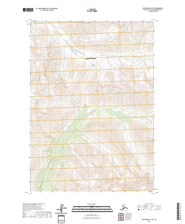
2023 Map of Anchorage A-7 SE
USGS Topo · Published 2023About this map
Bird Creek Pass serves as a critical geographic transition point in this high-elevation landscape within the Anchorage municipality. The terrain is defined by the headwaters of two distinct drainage systems: the North Fork Ship Creek flowing toward the northwest and Bird Creek descending toward the south. The presence of the Bird Glacier near Bird Peak illustrates the glacial processes that continue to shape the topography of this region. Outdoor movement through this wilderness area is marked by the Bird Creek Trl, which follows the namesake creek through steep-sided valleys. This survey provides a precise view of the township and range boundaries, including t12n r1e and t11n r1e, as they intersect across these mountain peaks and permanent ice fields.
Find a feature on this map
11 named features on this map. Tap any name to fly to it.
Don’t see what you’re looking for? This feature index may not catch every label — zoom into the map to look around manually.
Map Details
Editions of this 2023 Anchorage A-7 SE Map
This is the sole edition of this map. No revisions or reprints were ever made.
Other maps of this area

1951 · Seward
USGS Topo · 1:250,000

1951 · Anchorage
USGS Topo · 1:250,000

1951 · Seward D-7
USGS Topo · 1:63,360

1951 · Seward D-6
USGS Topo · 1:63,360

1952 · Seward D-6
USGS Topo · 1:63,360

1952 · Seward D-7
USGS Topo · 1:63,360

1953 · Seward
USGS Topo · 1:250,000

1959 · Seward
USGS Topo · 1:250,000

1960 · Anchorage A-6
USGS Topo · 1:63,360

1960 · Anchorage A-7
USGS Topo · 1:63,360