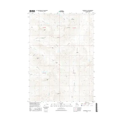
2016 Map of Anchorage A-7 SW
USGS Topo · Published 2016About this map
O'Malley Peak and Mt Williwaw anchor this high-elevation terrain within the Chugach Mountains, showcasing a landscape defined by glacial activity and steep drainage basins. The map details a complex network of alpine lakes, including the chain of Williwaw Lakes, Long Lake, and Rabbit Lake at the headwaters of Rabbit Cr. Notable high-altitude crossings such as Indian Creek Pass, Ship Lake Pass, and Powerline Pass demonstrate the natural corridors used to navigate this formidable geography.
Find a feature on this map
31 named features on this map. Tap any name to fly to it.
Don’t see what you’re looking for? This feature index may not catch every label — zoom into the map to look around manually.
Map Details
Editions of this 2016 Anchorage A-7 SW Map
This is the sole edition of this map. No revisions or reprints were ever made.
Other maps of this area

1951 · Seward
USGS Topo · 1:250,000

1951 · Anchorage
USGS Topo · 1:250,000

1951 · Seward D-8
USGS Topo · 1:63,360

1951 · Seward D-7
USGS Topo · 1:63,360

1952 · Seward D-8
USGS Topo · 1:63,360

1952 · Seward D-7
USGS Topo · 1:63,360

1952 · Anchorage A-8
USGS Topo · 1:63,360

1953 · Anchorage A-8
USGS Topo · 1:63,360

1953 · Seward
USGS Topo · 1:250,000

1959 · Seward
USGS Topo · 1:250,000