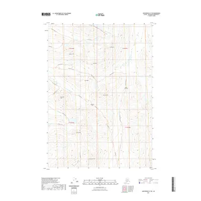
2021 Map of Anchorage A-7 SW
USGS Topo · Published 2021About this map
O'Malley Peak and Ptarmigan Peak dominate this landscape within the Anchorage Municipality, where a network of trails facilitates movement through the high elevations. The 2021 survey shows a terrain defined by dramatic peaks and deep-cut drainages such as Campbell Creek Canyon and Falls Cr. A corridor of wilderness navigation is established by named paths like the Powerline Trl and Ship Lake Pass Trl, which connect various basins across high divides. Strategic mountain crossings, including Indian Creek Pass and Powerline Pass, illustrate the primary routes used to traverse the front range. The drainage pattern is complex, with the S Fork Campbell Cr and Ship Cr carving distinct valleys among the massifs of Avalanche Mtn and the Suicide Peaks, reflecting a landscape largely shaped by these perennial water systems.
Find a feature on this map
34 named features on this map. Tap any name to fly to it.
Don’t see what you’re looking for? This feature index may not catch every label — zoom into the map to look around manually.
Map Details
Editions of this 2021 Anchorage A-7 SW Map
This is the sole edition of this map. No revisions or reprints were ever made.
Other maps of this area

1951 · Seward
USGS Topo · 1:250,000

1951 · Anchorage
USGS Topo · 1:250,000

1951 · Seward D-8
USGS Topo · 1:63,360

1951 · Seward D-7
USGS Topo · 1:63,360

1952 · Seward D-8
USGS Topo · 1:63,360

1952 · Seward D-7
USGS Topo · 1:63,360

1952 · Anchorage A-8
USGS Topo · 1:63,360

1953 · Anchorage A-8
USGS Topo · 1:63,360

1953 · Seward
USGS Topo · 1:250,000

1959 · Seward
USGS Topo · 1:250,000