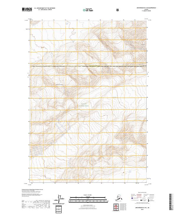
2023 Map of Anchorage B-2 SE
USGS Topo · Published 2023About this map
Harvard Glacier and Yale Glacier define the high-altitude landscape of this northern reach of the Chugach National Forest. The map documents a strictly glacial environment where massive ice flows dominate the topography, separated by the formidable Dora Keen Range. This high-country survey captures the convergence of the Copper River Census Area and the Chugach Census Area amidst a wilderness of ice and rock. The sheet reveals the complex relationship between alpine peaks like Mt Glenn and the surrounding glacial systems, including the Lowell Glacier and Meares Glacier. This modern topographic study provides an essential record of the contemporary extent of these major glaciers, showing the drainage patterns and ridgelines that remain unchanged in one of the most remote corners of the Chugach mountains.
Find a feature on this map
14 named features on this map. Tap any name to fly to it.
Don’t see what you’re looking for? This feature index may not catch every label — zoom into the map to look around manually.
Map Details
Editions of this 2023 Anchorage B-2 SE Map
This is the sole edition of this map. No revisions or reprints were ever made.
Other maps of this area

1951 · Anchorage
USGS Topo · 1:250,000

1960 · Anchorage A-2
USGS Topo · 1:63,360

1960 · Anchorage A-1
USGS Topo · 1:63,360

1960 · Anchorage B-1
USGS Topo · 1:63,360

1960 · Anchorage B-2
USGS Topo · 1:63,360

1962 · Anchorage
USGS Topo · 1:250,000

1979 · Anchorage
USGS Topo · 1:250,000
1995 · Anchorage A-1
USGS Topo · 1:63,360

2013 · Anchorage B-2 SW
USGS Topo · 1:25,000
2013 · Anchorage B-2 NE
USGS Topo · 1:25,000