
2013 Map of Anchorage B-2 SW
USGS Topo · Published 2013About this map
Chugach National Forest encompasses this high-altitude landscape in the Chugach Mountains, dominated by an extensive system of ice and tidewater features. The topography is defined by the convergence of massive glacial flows, most notably the Harvard Glacier and Yale Glacier, which drain toward the coast. This 2013 survey records the precise extent of these ice fields at the start of the 21st century, showing how the Radcliffe Glacier and Elliot Glacier feed into the larger glacial valleys. The map illustrates the dramatic meeting point of ice and sea at Harvard Arm, where the terrain transitions from steep alpine slopes to the fjord waters of Prince William Sound. This document serves as a specialized record of glaciology and wilderness geography, capturing the positions of smaller features like Lowell, Baltimore, and Downer Glacier within the protected forest boundaries.
Find a feature on this map
9 named features on this map. Tap any name to fly to it.
Don’t see what you’re looking for? This feature index may not catch every label — zoom into the map to look around manually.
Map Details
Editions of this 2013 Anchorage B-2 SW Map
This is the sole edition of this map. No revisions or reprints were ever made.
Other maps of this area

1951 · Anchorage
USGS Topo · 1:250,000

1960 · Anchorage A-2
USGS Topo · 1:63,360

1960 · Anchorage A-3
USGS Topo · 1:63,360

1960 · Anchorage B-3
USGS Topo · 1:63,360

1960 · Anchorage B-2
USGS Topo · 1:63,360

1962 · Anchorage
USGS Topo · 1:250,000

1979 · Anchorage
USGS Topo · 1:250,000
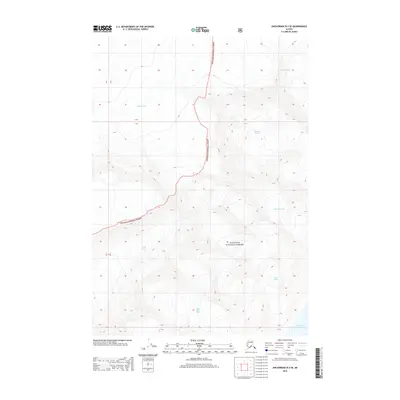
2013 · Anchorage B-3 SE
USGS Topo · 1:25,000
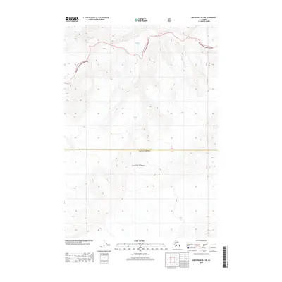
2013 · Anchorage B-2 NE
USGS Topo · 1:25,000
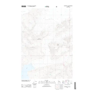
2013 · Anchorage A-2 NE
USGS Topo · 1:25,000