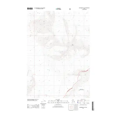
2013 Map of Anchorage B-3 SW
USGS Topo · Published 2013About this map
Mount Goode stands as a primary landmark in this high-altitude landscape within the Chugach National Forest. The 2013 survey illustrates the complex glacial environment of the region, featuring the expansive ice of the Knik Glacier and the Barry Glacier. These ice fields and their dramatic topographical contours dominate the map, highlighting a terrain shaped by massive geological forces. The map also records the administrative grid of the Public Land Survey System, including townships T 14 N and T 15 N, which provide a formal structure to this wilderness. For those studying the glaciology or the protected lands of south-central Alaska, this sheet provides a detailed record of ice boundaries and mountain elevations at the start of the twenty-first century.
Find a feature on this map
8 named features on this map. Tap any name to fly to it.
Don’t see what you’re looking for? This feature index may not catch every label — zoom into the map to look around manually.
Map Details
Editions of this 2013 Anchorage B-3 SW Map
This is the sole edition of this map. No revisions or reprints were ever made.
Other maps of this area

1951 · Anchorage
USGS Topo · 1:250,000

1960 · Anchorage A-4
USGS Topo · 1:63,360

1960 · Anchorage A-3
USGS Topo · 1:63,360

1960 · Anchorage B-4
USGS Topo · 1:63,360

1960 · Anchorage B-3
USGS Topo · 1:63,360

1962 · Anchorage
USGS Topo · 1:250,000

1979 · Anchorage
USGS Topo · 1:250,000

1994 · Anchorage B-4
USGS Topo · 1:63,360
2013 · Anchorage B-3 SE
USGS Topo · 1:25,000
2013 · Anchorage A-3 NW
USGS Topo · 1:25,000