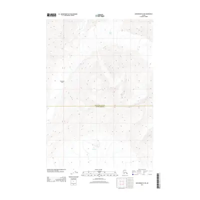
2013 Map of Anchorage B-4 NE
USGS Topo · Published 2013About this map
Marcus Baker Glacier and the Knik Glacier dominate this high-elevation landscape along the boundary of Matanuska-Susitna and Valdez-Cordova. This 2013 survey illustrates the glacial morphology and drainage patterns of the Chugach Mountains, where high peaks funnel ice and runoff toward the coastal lowlands. The terrain is characterized by steep contour gradients and massive ice fields, notably north of Grasshopper Valley. For researchers of environmental change and Alaskan topography, this map provides a precise baseline of glacial extent and alpine landforms at the start of the 2010s, showing the intersection of these two expansive administrative districts in a region defined by its lack of human infrastructure and reliance on natural geographic boundaries.
Find a feature on this map
4 named features on this map. Tap any name to fly to it.
Don’t see what you’re looking for? This feature index may not catch every label — zoom into the map to look around manually.
Map Details
Editions of this 2013 Anchorage B-4 NE Map
This is the sole edition of this map. No revisions or reprints were ever made.
Other maps of this area

1951 · Anchorage
USGS Topo · 1:250,000

1960 · Anchorage B-4
USGS Topo · 1:63,360

1960 · Anchorage C-3
USGS Topo · 1:63,360

1960 · Anchorage B-3
USGS Topo · 1:63,360

1960 · Anchorage C-4
USGS Topo · 1:63,360

1962 · Anchorage
USGS Topo · 1:250,000

1979 · Anchorage
USGS Topo · 1:250,000

1993 · Anchorage C-3
USGS Topo · 1:63,360

1994 · Anchorage B-4
USGS Topo · 1:63,360
1994 · Anchorage C-4
USGS Topo · 1:63,360