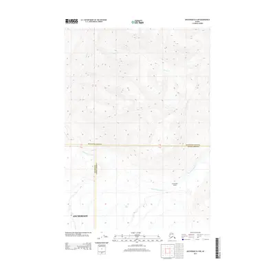
2013 Map of Anchorage B-4 NW
USGS Topo · Published 2013About this map
Knik Glacier dominates the southern landscape of this 2013 survey, where massive ice fields transition into the braided channels of the Glacier Fork Knik River. This region represents a dramatic high-altitude wilderness at the meeting point of several administrative boundaries, including Matanuska-Susitna, Valdez-Cordova, and Anchorage. To the north, the terrain is carved by tributary streams such as Metal Cr and Paradise Cr, which descend through steep contours toward the primary river valley. A notable level break in this vertical environment is Grasshopper Valley, situated just north of the glacier's main body. The map illustrates the complex glacial hydrology of the area, showing how meltwater from the ice sheet feeds the expansive river system that defines the lower elevations of the quadrangle.
Find a feature on this map
9 named features on this map. Tap any name to fly to it.
Don’t see what you’re looking for? This feature index may not catch every label — zoom into the map to look around manually.
Map Details
Editions of this 2013 Anchorage B-4 NW Map
This is the sole edition of this map. No revisions or reprints were ever made.
Other maps of this area

1951 · Anchorage
USGS Topo · 1:250,000

1951 · Anchorage C-5
USGS Topo · 1:63,360

1952 · Anchorage C-5
USGS Topo · 1:63,360

1960 · Anchorage C-5
USGS Topo · 1:63,360

1960 · Anchorage B-5
USGS Topo · 1:63,360

1960 · Anchorage B-4
USGS Topo · 1:63,360

1960 · Anchorage C-4
USGS Topo · 1:63,360

1962 · Anchorage
USGS Topo · 1:250,000

1979 · Anchorage
USGS Topo · 1:250,000

1994 · Anchorage B-4
USGS Topo · 1:63,360