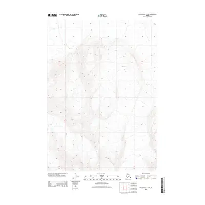
2013 Map of Anchorage B-4 SE
USGS Topo · Published 2013About this map
Knik Glacier and Gannett Glacier dominate this glacial landscape in the Chugach Mountains, where massive ice fields carve through the high-altitude terrain. The topography is defined by extreme relief, captured here as it appeared in the early 21st century. This 2013 survey from the U.S. Geological Survey illustrates the convergence of ice and rock across several townships, including the boundary between Township 15 North and Township 14 North. The lack of human infrastructure or named settlements emphasizes the character of this Unorganized Borough region as a wilderness primarily shaped by geologic and glaciological forces. Researchers of Alaskan landforms can trace the precise contours and extent of the ice sheets during this specific era.
Find a feature on this map
5 named features on this map. Tap any name to fly to it.
Don’t see what you’re looking for? This feature index may not catch every label — zoom into the map to look around manually.
Map Details
Editions of this 2013 Anchorage B-4 SE Map
This is the sole edition of this map. No revisions or reprints were ever made.
Other maps of this area

1951 · Anchorage
USGS Topo · 1:250,000

1960 · Anchorage A-4
USGS Topo · 1:63,360

1960 · Anchorage A-3
USGS Topo · 1:63,360

1960 · Anchorage B-4
USGS Topo · 1:63,360

1960 · Anchorage B-3
USGS Topo · 1:63,360

1962 · Anchorage
USGS Topo · 1:250,000

1979 · Anchorage
USGS Topo · 1:250,000

1994 · Anchorage B-4
USGS Topo · 1:63,360
2013 · Anchorage B-4 SW
USGS Topo · 1:25,000
2013 · Anchorage A-3 NW
USGS Topo · 1:25,000