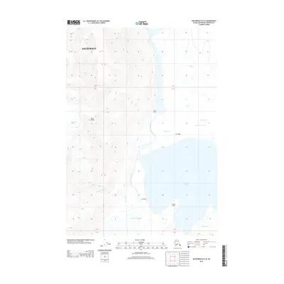
2013 Map of Anchorage B-5 SE
USGS Topo · Published 2013About this map
The massive Knik Glacier and Colony Glacier dominate this glacial landscape within the Anchorage municipality, where ice, water, and stone are in constant transition. The drainage of the Lake Fork Knik River connects a series of significant water bodies, including Upper Lake George, Inner Lake George, and Lower Lake George. This interconnected system is defined by narrow passages and natural barriers such as The Gorge and the elevated Low Ridge. High-altitude features like Mount Palmer and the Hunter Creek Glacier overlook the complex valley floor, where seasonal flows from Troublesome Cr and Fourteen Cr feed into the primary river system. This terrain is characterized by the dynamic relationship between advancing or receding ice and the resulting lakes, with topographic landmarks like Colony Point and the Crossway providing orientation within the remote wilderness area.
Find a feature on this map
18 named features on this map. Tap any name to fly to it.
Don’t see what you’re looking for? This feature index may not catch every label — zoom into the map to look around manually.
Map Details
Editions of this 2013 Anchorage B-5 SE Map
This is the sole edition of this map. No revisions or reprints were ever made.
Other maps of this area

1951 · Anchorage
USGS Topo · 1:250,000

1960 · Anchorage A-5
USGS Topo · 1:63,360

1960 · Anchorage A-4
USGS Topo · 1:63,360

1960 · Anchorage B-5
USGS Topo · 1:63,360

1960 · Anchorage B-4
USGS Topo · 1:63,360

1962 · Anchorage
USGS Topo · 1:250,000

1979 · Anchorage
USGS Topo · 1:250,000

1994 · Anchorage B-4
USGS Topo · 1:63,360
1994 · Anchorage B-5
USGS Topo · 1:63,360
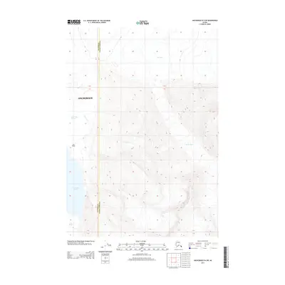
2013 · Anchorage B-4 SW
USGS Topo · 1:25,000