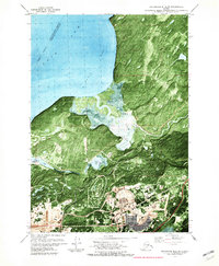
1979 Map of Anchorage B-8 SE
USGS Topo · Published 1981About this map
The waters of the Knik Arm and Eagle Bay define the western shoreline of this orthophotomap, where the tidal environment meets the heavy infrastructure of Alaska's military heart. Dominating the central and southern terrain are the Fort Richardson Military Reservation and Elmendorf Military Reservation, showing a complex landscape of operational sites, including the extensive facilities at Bryant Field and an Athletic Field.
Find a feature on this map
23 named features on this map. Tap any name to fly to it.
Don’t see what you’re looking for? This feature index may not catch every label — zoom into the map to look around manually.
Map Details
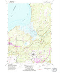
Editions of this 1979 Anchorage B-8 SE Map
2 editions found
Other maps of this area

1951 · Anchorage
USGS Topo · 1:250,000

1952 · Anchorage A-8
USGS Topo · 1:63,360

1952 · Anchorage B-8
USGS Topo · 1:63,360

1953 · Anchorage A-8
USGS Topo · 1:63,360

1953 · Anchorage B-8
USGS Topo · 1:63,360

1960 · Anchorage B-7
USGS Topo · 1:63,360

1960 · Anchorage A-7
USGS Topo · 1:63,360

1962 · Anchorage
USGS Topo · 1:250,000

1965 · Anchorage B-8
USGS Topo · 1:63,360

1979 · Anchorage B-7 SW
USGS Topo · 1:25,000