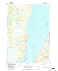
1979 Map of Anchorage B-8 SW
USGS Topo · Published 1993About this map
Elmendorf Air Force Base occupies a significant portion of this coastal landscape, situated along the eastern shore of the Knik Arm. The military installation is heavily developed with specialized infrastructure including the Hillberg Ski Area, a Campground, and an Athletic Field, reflecting the base's established presence by the late 1970s. Further inland, small settlements like Tuomi and Dorf are recorded near Sixmile Lake and Green Lake, while the Globe BIE Radio Tower stands as a prominent landmark for the area's communications network.
Find a feature on this map
35 named features on this map. Tap any name to fly to it.
Don’t see what you’re looking for? This feature index may not catch every label — zoom into the map to look around manually.
Map Details
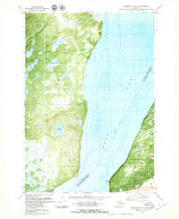
Editions of this 1979 Anchorage B-8 SW Map
2 editions found
Other maps of this area

1949 · Tyonek
USGS Topo · 1:250,000

1951 · Anchorage
USGS Topo · 1:250,000

1951 · Tyonek
USGS Topo · 1:250,000

1951 · Tyonek A-1
USGS Topo · 1:63,360

1952 · Tyonek A-1
USGS Topo · 1:63,360

1952 · Anchorage A-8
USGS Topo · 1:63,360

1952 · Anchorage B-8
USGS Topo · 1:63,360

1953 · Anchorage A-8
USGS Topo · 1:63,360

1953 · Anchorage B-8
USGS Topo · 1:63,360

1958 · Tyonek B-1
USGS Topo · 1:63,360