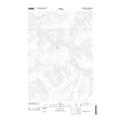
2013 Map of Anchorage C-3 SE
USGS Topo · Published 2013About this map
Mount Sergeant Robinson stands as the central topographical anchor in this high-altitude survey of the Chugach Mountains. The map illustrates the complex glacial environment of the Matanuska-Susitna region, specifically focusing on the frozen expanses of the Matanuska Glacier and the Marcus Baker Glacier. This document provides a highly technical look at the ice-sculpted terrain and elevation contours typical of the Alaskan interior's wilderness areas. Unlike developed regions, the landscape here is defined entirely by natural boundaries, including township lines such as T 17 N, and the intricate relief of mountain peaks and valley floors.
Find a feature on this map
7 named features on this map. Tap any name to fly to it.
Don’t see what you’re looking for? This feature index may not catch every label — zoom into the map to look around manually.
Map Details
Editions of this 2013 Anchorage C-3 SE Map
This is the sole edition of this map. No revisions or reprints were ever made.
Other maps of this area

1951 · Anchorage
USGS Topo · 1:250,000

1960 · Anchorage C-2
USGS Topo · 1:63,360

1960 · Anchorage C-3
USGS Topo · 1:63,360

1960 · Anchorage B-3
USGS Topo · 1:63,360

1960 · Anchorage B-2
USGS Topo · 1:63,360

1962 · Anchorage
USGS Topo · 1:250,000

1979 · Anchorage
USGS Topo · 1:250,000
1993 · Anchorage C-2
USGS Topo · 1:63,360

1993 · Anchorage C-3
USGS Topo · 1:63,360
2013 · Anchorage C-2 SW
USGS Topo · 1:25,000