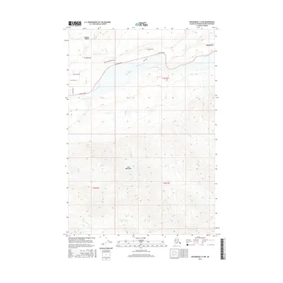
2016 Map of Anchorage C-5 NW
USGS Topo · Published 2016About this map
Sutton-Alpine and Chickaloon anchor this portion of the Matanuska-Susitna Borough, where the valley floor meets the imposing heights of Lazy Mountain. The landscape is dominated by the wide corridor of the Matanuska River, which serves as the primary geographic axis for transportation and settlement. The Glenn Highway follows the northern bank of the river, connecting a series of local roads such as Granite Creek Ranch Road and Kings River Drive to the broader Alaskan interior.
Find a feature on this map
21 named features on this map. Tap any name to fly to it.
Don’t see what you’re looking for? This feature index may not catch every label — zoom into the map to look around manually.
Map Details
Editions of this 2016 Anchorage C-5 NW Map
This is the sole edition of this map. No revisions or reprints were ever made.
Other maps of this area

1949 · Anchorage D-5
USGS Topo · 1:63,360

1950 · Anchorage D-6
USGS Topo · 1:63,360

1951 · Anchorage
USGS Topo · 1:250,000

1951 · Anchorage C-6
USGS Topo · 1:63,360

1951 · Anchorage C-5
USGS Topo · 1:63,360

1952 · Anchorage D-6
USGS Topo · 1:63,360

1952 · Anchorage D-5
USGS Topo · 1:63,360

1952 · Anchorage C-5
USGS Topo · 1:63,360

1960 · Anchorage C-5
USGS Topo · 1:63,360

1962 · Anchorage
USGS Topo · 1:250,000