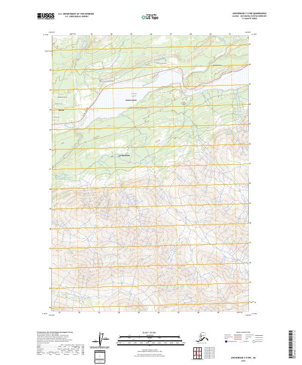
2023 Map of Anchorage C-5 NW
USGS Topo · Published 2023About this map
The Matanuska Valley defines this landscape, where the Matanuska River carves a broad corridor through the southern reaches of the Talkeetna Mountains. In this modern 2023 snapshot, the Glenn Highway serves as the primary artery connecting the established communities of Sutton and Sutton-Alpine with the more eastern outpost of Chickaloon. These settlements, deeply rooted in the region's coal mining history, sit at the confluence of major glacial runoff channels like Kings River and Granite Creek. To the south, the massive presence of Lazy Mountain overlooks the valley floor, while northern labels such as Chitalnu and Tsiyena hint at the Indigenous cultural geography that precedes and persists alongside modern infrastructure. The map meticulously documents the network of local roads, including Kings River Drive and Granite Creek Ranch Road, illustrating the ongoing residential and agricultural development of this high-latitude river basin.
Find a feature on this map
23 named features on this map. Tap any name to fly to it.
Don’t see what you’re looking for? This feature index may not catch every label — zoom into the map to look around manually.
Map Details
Editions of this 2023 Anchorage C-5 NW Map
This is the sole edition of this map. No revisions or reprints were ever made.
Other maps of this area

1949 · Anchorage D-5
USGS Topo · 1:63,360

1950 · Anchorage D-6
USGS Topo · 1:63,360

1951 · Anchorage
USGS Topo · 1:250,000

1951 · Anchorage C-6
USGS Topo · 1:63,360

1951 · Anchorage C-5
USGS Topo · 1:63,360

1952 · Anchorage D-6
USGS Topo · 1:63,360

1952 · Anchorage D-5
USGS Topo · 1:63,360

1952 · Anchorage C-5
USGS Topo · 1:63,360

1960 · Anchorage C-5
USGS Topo · 1:63,360

1962 · Anchorage
USGS Topo · 1:250,000