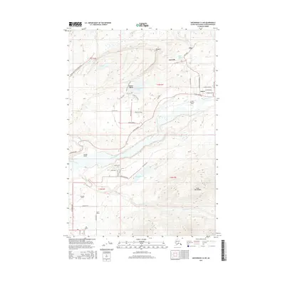
2016 Map of Anchorage C-6 NE
USGS Topo · Published 2016About this map
Sutton and Sutton-Alpine serve as the primary population centers along the Glenn Highway in this northern Alaskan landscape. The area is defined by its deep ties to coal extraction, evident in the network of infrastructure surrounding Wishbone Hill and the historical communities of Jonesville and Eska. The Jonesville Mine Road N and Buffalo Mine/Moose Creek Road indicate the industrial footprint that shaped these settlements.
Find a feature on this map
55 named features on this map. Tap any name to fly to it.
Don’t see what you’re looking for? This feature index may not catch every label — zoom into the map to look around manually.
Map Details
Editions of this 2016 Anchorage C-6 NE Map
This is the sole edition of this map. No revisions or reprints were ever made.
Other maps of this area

1949 · Anchorage D-5
USGS Topo · 1:63,360

1950 · Anchorage D-6
USGS Topo · 1:63,360

1951 · Anchorage
USGS Topo · 1:250,000

1951 · Anchorage C-6
USGS Topo · 1:63,360

1951 · Anchorage C-5
USGS Topo · 1:63,360

1952 · Anchorage D-6
USGS Topo · 1:63,360

1952 · Anchorage D-5
USGS Topo · 1:63,360

1952 · Anchorage C-5
USGS Topo · 1:63,360

1960 · Anchorage C-5
USGS Topo · 1:63,360

1962 · Anchorage
USGS Topo · 1:250,000