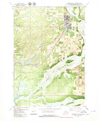
1979 Map of Anchorage C-6 SW
USGS Topo · Published 1980About this map
The town of Palmer serves as the focal point of this late-1970s orthophotomap, showing the developed grid of the city alongside the extensive gravel bars of the Matanuska River. This hybrid map style, which overlays traditional topographic contours on aerial imagery, provides an exceptional view of the agricultural and institutional footprint in the Matanuska Valley. Notable educational and civic landmarks include the Community College, Sherrod School, and the State Fairground, while the transportation network is defined by the proximity of the Municipal Airport and the path of The Alaska Railroad.
Find a feature on this map
42 named features on this map. Tap any name to fly to it.
Don’t see what you’re looking for? This feature index may not catch every label — zoom into the map to look around manually.
Map Details
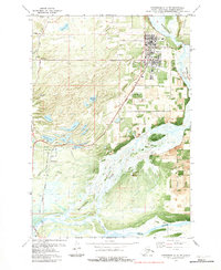
Editions of this 1979 Anchorage C-6 SW Map
2 editions found
Other maps of this area

1950 · Anchorage C-7
USGS Topo · 1:63,360

1951 · Anchorage
USGS Topo · 1:250,000

1951 · Anchorage C-6
USGS Topo · 1:63,360

1951 · Anchorage C-7
USGS Topo · 1:63,360

1952 · Anchorage C-7
USGS Topo · 1:63,360

1960 · Anchorage B-7
USGS Topo · 1:63,360

1960 · Anchorage B-6
USGS Topo · 1:63,360

1962 · Anchorage
USGS Topo · 1:250,000

1979 · Anchorage B-6 NW
USGS Topo · 1:25,000
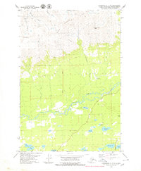
1979 · Anchorage C-7 NE
USGS Topo · 1:25,000