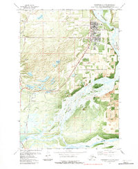
1979 Map of Anchorage C-6 SW
USGS Topo · Published 1980About this map
Palmer serves as the primary hub of this 1970s orthophotomap, showing the town's concentration of civic life with the Sherrod School, Swanson Sch, and the local Hosp. The map captures the significant transportation and recreational infrastructure of the area, including the Municipal Airport and the sprawling State Fairground. The terrain is defined by a dense network of lakes such as Matanuska Lake, Kepler Lake, and Long Lake, which lie just north of the wide, braided channels of the Matanuska River.
Find a feature on this map
45 named features on this map. Tap any name to fly to it.
Don’t see what you’re looking for? This feature index may not catch every label — zoom into the map to look around manually.
Map Details
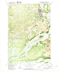
Editions of this 1979 Anchorage C-6 SW Map
2 editions found
Other maps of this area

1950 · Anchorage C-7
USGS Topo · 1:63,360

1951 · Anchorage
USGS Topo · 1:250,000

1951 · Anchorage C-6
USGS Topo · 1:63,360

1951 · Anchorage C-7
USGS Topo · 1:63,360

1952 · Anchorage C-7
USGS Topo · 1:63,360

1960 · Anchorage B-7
USGS Topo · 1:63,360

1960 · Anchorage B-6
USGS Topo · 1:63,360

1962 · Anchorage
USGS Topo · 1:250,000

1979 · Anchorage B-6 NW
USGS Topo · 1:25,000
1979 · Anchorage C-7 NE
USGS Topo · 1:25,000