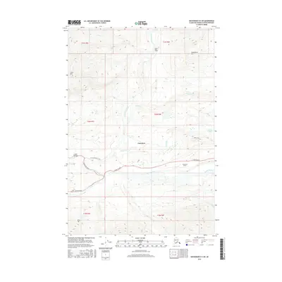
2016 Map of Anchorage D-4 SW
USGS Topo · Published 2016About this map
Chickaloon sits at the confluence of the Chickaloon River and the Matanuska River, serving as a vital hub along the Glenn Highway in the Matanuska-Susitna Borough. This 2016 survey highlights the area's aviation infrastructure, featuring both the King Ranch Airport and the Castle Mountain Airstrip. The landscape is defined by the dramatic rise of Castle Mtn and Kings Mtn, while the Ninety-eight Bridge spans the northern reaches of the Chickaloon River. Waterways like California Cr, Sawmill Cr, and Coal Cr drain the surrounding highlands, reflecting the region's geological complexity. Roads such as Chickaloon Branch Road and Chickaloon Drive provide local access to these remote reaches, where the intersection of river transport and mountain aviation once underpinned the local economy and remote connectivity.
Find a feature on this map
28 named features on this map. Tap any name to fly to it.
Don’t see what you’re looking for? This feature index may not catch every label — zoom into the map to look around manually.
Map Details
Editions of this 2016 Anchorage D-4 SW Map
This is the sole edition of this map. No revisions or reprints were ever made.
Other maps of this area

1948 · Anchorage D-4
USGS Topo · 1:63,360

1949 · Anchorage D-5
USGS Topo · 1:63,360

1951 · Anchorage
USGS Topo · 1:250,000

1951 · Anchorage C-5
USGS Topo · 1:63,360

1952 · Anchorage D-5
USGS Topo · 1:63,360

1952 · Anchorage D-4
USGS Topo · 1:63,360

1952 · Anchorage C-5
USGS Topo · 1:63,360

1960 · Anchorage C-5
USGS Topo · 1:63,360

1960 · Anchorage C-4
USGS Topo · 1:63,360

1962 · Anchorage
USGS Topo · 1:250,000