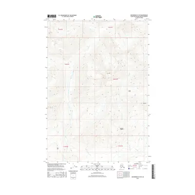
2016 Map of Anchorage D-5 SW
USGS Topo · Published 2016About this map
Sutton-Alpine serves as the primary point of settlement in this northern landscape, positioned where the high terrain begins its descent toward the valley floor. The geography is defined by a series of prominent peaks and drainage systems, including Lava Mtn and Red Mtn, which overlook the expansive Sheep Valley. These summits reflect a complex geological history, marked by elevations that rise sharply above the watercourses below.
Find a feature on this map
16 named features on this map. Tap any name to fly to it.
Don’t see what you’re looking for? This feature index may not catch every label — zoom into the map to look around manually.
Map Details
Editions of this 2016 Anchorage D-5 SW Map
This is the sole edition of this map. No revisions or reprints were ever made.
Other maps of this area

1949 · Anchorage D-5
USGS Topo · 1:63,360

1950 · Anchorage D-6
USGS Topo · 1:63,360

1951 · Anchorage
USGS Topo · 1:250,000

1951 · Anchorage C-6
USGS Topo · 1:63,360

1951 · Anchorage C-5
USGS Topo · 1:63,360

1952 · Anchorage D-6
USGS Topo · 1:63,360

1952 · Anchorage D-5
USGS Topo · 1:63,360

1952 · Anchorage C-5
USGS Topo · 1:63,360

1960 · Anchorage C-5
USGS Topo · 1:63,360

1962 · Anchorage
USGS Topo · 1:250,000