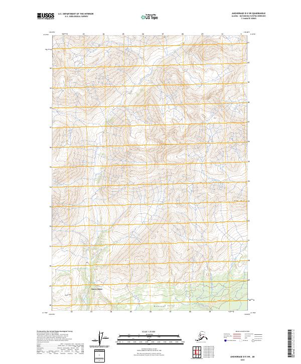
2023 Map of Anchorage D-5 SW
USGS Topo · Published 2023About this map
Matanuska Valley terrain dominates this modern survey, characterized by dramatic elevation changes and a dense network of mountain drainages. The settlement of Sutton-Alpine serves as the primary human landmark in the southern portion of the map, situated near the base of the surrounding highlands. The landscape is defined by prominent peaks, including the appropriately named Lava Mtn and Red Mtn, which overlook the complex hydrology of the region.
Find a feature on this map
16 named features on this map. Tap any name to fly to it.
Don’t see what you’re looking for? This feature index may not catch every label — zoom into the map to look around manually.
Map Details
Editions of this 2023 Anchorage D-5 SW Map
This is the sole edition of this map. No revisions or reprints were ever made.
Other maps of this area

1949 · Anchorage D-5
USGS Topo · 1:63,360

1950 · Anchorage D-6
USGS Topo · 1:63,360

1951 · Anchorage
USGS Topo · 1:250,000

1951 · Anchorage C-6
USGS Topo · 1:63,360

1951 · Anchorage C-5
USGS Topo · 1:63,360

1952 · Anchorage D-6
USGS Topo · 1:63,360

1952 · Anchorage D-5
USGS Topo · 1:63,360

1952 · Anchorage C-5
USGS Topo · 1:63,360

1960 · Anchorage C-5
USGS Topo · 1:63,360

1962 · Anchorage
USGS Topo · 1:250,000