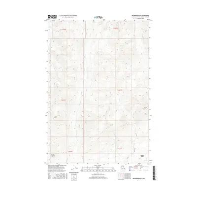
2016 Map of Anchorage D-6 SE
USGS Topo · Published 2016About this map
Sutton-Alpine and Buffalo Soapstone anchor the southern edge of this high-latitude landscape, where the transition from alpine peaks to valley settlements is sharply defined by elevation. High summits such as Arkose Peak and Granite Peak overlook a complex drainage system fed by the Mint Glacier at the northern boundary. The terrain is deeply carved by watercourses including Moose Creek, Glacier Cr, and the striking Eska Falls.
Find a feature on this map
19 named features on this map. Tap any name to fly to it.
Don’t see what you’re looking for? This feature index may not catch every label — zoom into the map to look around manually.
Map Details
Editions of this 2016 Anchorage D-6 SE Map
This is the sole edition of this map. No revisions or reprints were ever made.
Other maps of this area

1949 · Anchorage D-5
USGS Topo · 1:63,360

1950 · Anchorage D-6
USGS Topo · 1:63,360

1951 · Anchorage
USGS Topo · 1:250,000

1951 · Anchorage C-6
USGS Topo · 1:63,360

1951 · Anchorage C-5
USGS Topo · 1:63,360

1952 · Anchorage D-6
USGS Topo · 1:63,360

1952 · Anchorage D-5
USGS Topo · 1:63,360

1952 · Anchorage C-5
USGS Topo · 1:63,360

1960 · Anchorage C-5
USGS Topo · 1:63,360

1962 · Anchorage
USGS Topo · 1:250,000