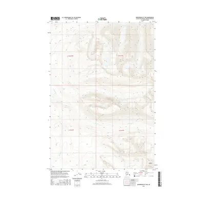
2016 Map of Anchorage D-7 NW
USGS Topo · Published 2016About this map
Willow anchors the southeastern corner of this Alaskan interior landscape, situated within the Matanuska-Susitna Borough. This high-altitude terrain is defined by a series of steep drainages, including the headwaters and upper reaches of Little Willow Cr, which winds through several townships including t21n r1w and t21n r2w. The survey demonstrates a landscape marked by dramatic relief, where deep valleys carved by Canyon Cr and Sevenmile Cr intersect with towering ridgelines. The geometric precision of the Public Land Survey System boundaries, such as t22n r2w and t22n r1w, contrasts sharply with the winding, natural flow of the local creek networks that dominate the topography.
Find a feature on this map
8 named features on this map. Tap any name to fly to it.
Don’t see what you’re looking for? This feature index may not catch every label — zoom into the map to look around manually.
Map Details
Editions of this 2016 Anchorage D-7 NW Map
This is the sole edition of this map. No revisions or reprints were ever made.
Other maps of this area

1949 · Anchorage D-7
USGS Topo · 1:63,360

1949 · Anchorage D-8
USGS Topo · 1:63,360

1950 · Talkeetna Mountains
USGS Topo · 1:250,000

1950 · Talkeetna Mountains A-6
USGS Topo · 1:63,360

1950 · Talkeetna Mountains A-5
USGS Topo · 1:63,360

1951 · Anchorage
USGS Topo · 1:250,000

1951 · Anchorage D-8
USGS Topo · 1:63,360

1951 · Anchorage D-7
USGS Topo · 1:63,360

1952 · Anchorage D-7
USGS Topo · 1:63,360

1952 · Anchorage D-8
USGS Topo · 1:63,360