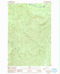
1987 Map of Anderson Lake
USGS Topo · Published 1993About this map
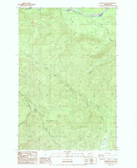
The Nisqually River defines the northern boundary of this high-elevation terrain in the late 1980s, marking the border between Pierce and Lewis Counties. This survey provides a meticulous look at a complex drainage network where the North Fork Mineral Creek and its various tributaries, including Ruby Creek and Gallup Creek, carve through the steep topography. Centrally located on a high plateau, Anderson Lake sits as a significant alpine water body among the ridges. Evidence of human activity is sparse in this heavily forested landscape, noted primarily by a Borrow Pit near the river and the presence of Swamp Creek at the southern edge. The lack of named settlements emphasizes the area's character as a timber or wilderness resource zone during the final decades of the twentieth century.
Find a feature on this map
10 named features on this map. Tap any name to fly to it.
Don’t see what you’re looking for? This feature index may not catch every label — zoom into the map to look around manually.
Map Details
Editions of this 1987 Anderson Lake Map
2 editions found
Other maps of this area

1924 · Mt Rainier
USGS Topo · 1:96,000

1928 · Mt Rainier
USGS Topo · 1:125,000

1937 · Eatonville
USGS Topo · 1:125,000

1950 · Yakima
USGS Topo · 1:250,000

1953 · Hoquiam
USGS Topo · 1:250,000

1956 · Mineral
USGS Topo · 1:62,500

1956 · Kapowsin
USGS Topo · 1:62,500

1957 · Hoquiam
USGS Topo · 1:250,000

1958 · Yakima
USGS Topo · 1:250,000

1958 · Hoquiam
USGS Topo · 1:250,000