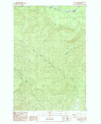
1987 Map of Anderson Lake
USGS Topo · Published 1987About this map
The Nisqually River defines the northern reaches of this landscape, carving through the border between Pierce and Lewis counties. This 1987 survey captures the area at a time when resource management and forestry dominated the local geography, evidenced by the presence of a borrow pit near Big Creek and the small settlement at Reese. The terrain is characterized by a complex network of drainages, including North Fork Mineral Creek and Ruby Creek, which feed into the larger watersheds of south-central Washington.
Find a feature on this map
15 named features on this map. Tap any name to fly to it.
Don’t see what you’re looking for? This feature index may not catch every label — zoom into the map to look around manually.
Map Details
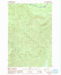
Editions of this 1987 Anderson Lake Map
2 editions found
Other maps of this area

1924 · Mt Rainier
USGS Topo · 1:96,000

1928 · Mt Rainier
USGS Topo · 1:125,000

1937 · Eatonville
USGS Topo · 1:125,000

1950 · Yakima
USGS Topo · 1:250,000

1953 · Hoquiam
USGS Topo · 1:250,000

1956 · Mineral
USGS Topo · 1:62,500

1956 · Kapowsin
USGS Topo · 1:62,500

1957 · Hoquiam
USGS Topo · 1:250,000

1958 · Yakima
USGS Topo · 1:250,000

1958 · Hoquiam
USGS Topo · 1:250,000