
1961 Map of Anderson South
USGS Topo · Published 1962About this map
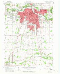
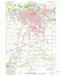
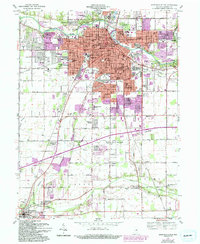
Anderson expands southward in this early 1960s survey, showing a landscape transitioning from the urban core to the rural reaches of Madison County. The White River and Fall Creek anchor the hydrology, while the Pennsylvania RR and New York Central RR corridors reflect the region's industrial backbone. Residential growth is evident in several suburban clusters like Woodlawn Heights, Edgewood, and Meadowbrook. Genealogists and historians will find significant detail in the numerous burial grounds, including the large Maplewood Cemetery and Anderson Memorial Park, as well as smaller rural sites like Pleasant Walk Cem. The map also details the early operations of Anderson Airport and the recreational grounds of Mounds State Park, capturing the mid-century infrastructure before modern highway developments.
Find a feature on this map
86 named features on this map. Tap any name to fly to it.
Don’t see what you’re looking for? This feature index may not catch every label — zoom into the map to look around manually.
Map Details
Editions of this 1961 Anderson South Map
4 editions found
Other maps of this area

1952 · Ingalls
USGS Topo · 1:24,000

1952 · Anderson
USGS Topo · 1:24,000

1953 · Pendleton
USGS Topo · 1:24,000

1953 · Lapel
USGS Topo · 1:24,000

1953 · Cincinnati
USGS Topo · 1:250,000

1953 · Muncie
USGS Topo · 1:250,000

1956 · Muncie
USGS Topo · 1:250,000

1957 · Cincinnati
USGS Topo · 1:250,000

1960 · Gilman
USGS Topo · 1:24,000

1960 · Middletown
USGS Topo · 1:24,000