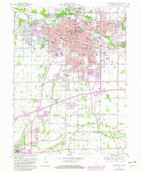
1961 Map of Anderson South
USGS Topo · Published 1982About this map
The industrial and residential growth of Anderson dominates this mid-century landscape, centered on the White River and a dense network of Conrail rail lines. Neighborhoods like Edgewood, Fairfax, and River Forest illustrate the post-war suburban expansion, while the presence of the Municipal Power Plant, Memorial Hospital, and Anderson College underscores the city's role as a regional hub. To the east, the preservation of ancient earthworks at Mounds State Park provides a sharp contrast to the surrounding urban grid.
Find a feature on this map
97 named features on this map. Tap any name to fly to it.
Don’t see what you’re looking for? This feature index may not catch every label — zoom into the map to look around manually.
Map Details
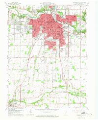
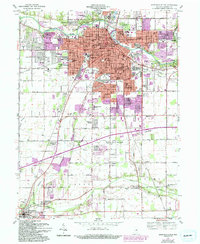
Editions of this 1961 Anderson South Map
4 editions found

Other maps of this area

1952 · Ingalls
USGS Topo · 1:24,000

1952 · Anderson
USGS Topo · 1:24,000

1953 · Pendleton
USGS Topo · 1:24,000

1953 · Lapel
USGS Topo · 1:24,000

1953 · Cincinnati
USGS Topo · 1:250,000

1953 · Muncie
USGS Topo · 1:250,000

1956 · Muncie
USGS Topo · 1:250,000

1957 · Cincinnati
USGS Topo · 1:250,000

1960 · Gilman
USGS Topo · 1:24,000

1960 · Middletown
USGS Topo · 1:24,000