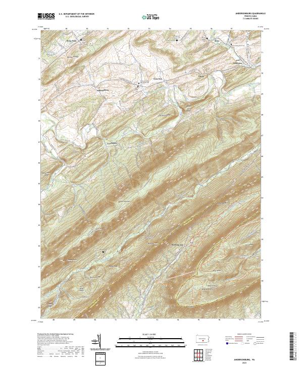
2023 Map of Andersonburg
USGS Topo · Published 2023About this map
Shermans Creek and its many tributaries, including Cisna Run and Bixler Run, carve a complex network of valleys through the ridgelines of central Pennsylvania. The area is defined by a series of parallel elevations, most notably Bowers Mountain and Blue Mountain, which frame the high-relief landscape. Small rural communities like Andersonburg and Centre are concentrated along Shermans Valley Rd, reflecting a long history of agricultural settlement in the narrow bottomlands.
Find a feature on this map
95 named features on this map. Tap any name to fly to it.
Don’t see what you’re looking for? This feature index may not catch every label — zoom into the map to look around manually.
Map Details
Editions of this 2023 Andersonburg Map
This is the sole edition of this map. No revisions or reprints were ever made.
Other maps of this area

1919 · Newville
USGS Topo · 1:62,500

1919 · Mattawana
USGS Topo · 1:62,500

1923 · Shippensburg
USGS Topo · 1:62,500

1930 · Loysville
USGS Topo · 1:62,500

1933 · Loysville
USGS Topo · 1:62,500

1936 · East Waterford
USGS Topo · 1:48,000

1941 · East Waterford
USGS Topo · 1:62,500

1943 · Shippensburg
USGS Topo · 1:62,500

1945 · Newville
USGS Topo · 1:62,500

1945 · Shippensburg
USGS Topo · 1:62,500
Featured Places
- Saville Township, PA
- Centre, Southwest Madison Township
- Jackson Township, PA
- Tyrone Township, PA
- Northeast Madison Township, PA