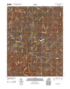
2010 Map of Andersonville
USGS Topo · Published 2010About this map
Andersonville sits at the center of this rural Virginia landscape, where the headwaters of several significant drainages converge. The topography is defined by the ridge of Woods Mountain and the winding course of the Appomattox River along the southern boundary. This area, largely comprised of the Appomattox-Buckingham SF, maintains a pattern of dispersed settlements like Enonville and Chestnut Grove.
Find a feature on this map
27 named features on this map. Tap any name to fly to it.
Don’t see what you’re looking for? This feature index may not catch every label — zoom into the map to look around manually.
Map Details
Editions of this 2010 Andersonville Map
This is the sole edition of this map. No revisions or reprints were ever made.
Other maps of this area

1891 · Palmyra
USGS Topo · 1:125,000

1891 · Farmville
USGS Topo · 1:125,000

1892 · Buckingham
USGS Topo · 1:125,000

1892 · Appomattox
USGS Topo · 1:125,000

1893 · Farmville
USGS Topo · 1:125,000

1895 · Palmyra
USGS Topo · 1:125,000

1897 · Palmyra
USGS Topo · 1:125,000

1947 · Roanoke
USGS Topo · 1:250,000

1950 · Dillwyn
USGS Topo · 1:62,500

1958 · Farmville
USGS Topo · 1:62,500