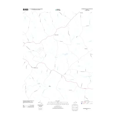
2013 Map of Andersonville
USGS Topo · Published 2013About this map
Andersonville sits at the heart of this Buckingham County landscape, where the headwaters of the Willis River and the Appomattox River define the local topography. This 2013 survey illustrates a rural Virginia environment deeply connected to its timber and water resources, evidenced by the presence of the Appomattox Buckingham Sf and the Appohorsepen Swma. Smaller settlements like Enonville, Areanum, and Chestnut Grove are linked by a network of winding roads, many of which carry names suggesting earlier industrial or agricultural activity, such as Garrett Mill Rd and Perkins Mill Rd. To the south, the terrain rises toward Woods Mountain, while the southern border follows the meandering course of the Appomattox River near Banks Ford. The map provides a clear look at how the modern road system, including Va-638 and Va-641, overlays a historical pattern of river-valley settlements and upland forests.
Find a feature on this map
64 named features on this map. Tap any name to fly to it.
Don’t see what you’re looking for? This feature index may not catch every label — zoom into the map to look around manually.
Map Details
Editions of this 2013 Andersonville Map
This is the sole edition of this map. No revisions or reprints were ever made.
Other maps of this area

1891 · Palmyra
USGS Topo · 1:125,000

1891 · Farmville
USGS Topo · 1:125,000

1892 · Buckingham
USGS Topo · 1:125,000

1892 · Appomattox
USGS Topo · 1:125,000

1893 · Farmville
USGS Topo · 1:125,000

1895 · Palmyra
USGS Topo · 1:125,000

1897 · Palmyra
USGS Topo · 1:125,000

1947 · Roanoke
USGS Topo · 1:250,000

1950 · Dillwyn
USGS Topo · 1:62,500

1958 · Farmville
USGS Topo · 1:62,500