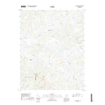
2019 Map of Andersonville
USGS Topo · Published 2019About this map
Andersonville serves as the central hub of this Piedmont landscape, situated near the intersection of several historic transit routes including Andersonville Rd and Maple Bridge Rd. The area is defined by a dense network of tributaries, most notably where the Willis River and Little Willis River drain the rolling terrain. To the southwest, Woods Mtn rises as a prominent landmark near the jurisdictional meeting point of Buckingham, Appomattox, and Prince Edward counties.
Find a feature on this map
61 named features on this map. Tap any name to fly to it.
Don’t see what you’re looking for? This feature index may not catch every label — zoom into the map to look around manually.
Map Details
Editions of this 2019 Andersonville Map
This is the sole edition of this map. No revisions or reprints were ever made.
Other maps of this area

1891 · Palmyra
USGS Topo · 1:125,000

1891 · Farmville
USGS Topo · 1:125,000

1892 · Buckingham
USGS Topo · 1:125,000

1892 · Appomattox
USGS Topo · 1:125,000

1893 · Farmville
USGS Topo · 1:125,000

1895 · Palmyra
USGS Topo · 1:125,000

1897 · Palmyra
USGS Topo · 1:125,000

1947 · Roanoke
USGS Topo · 1:250,000

1950 · Dillwyn
USGS Topo · 1:62,500

1958 · Farmville
USGS Topo · 1:62,500