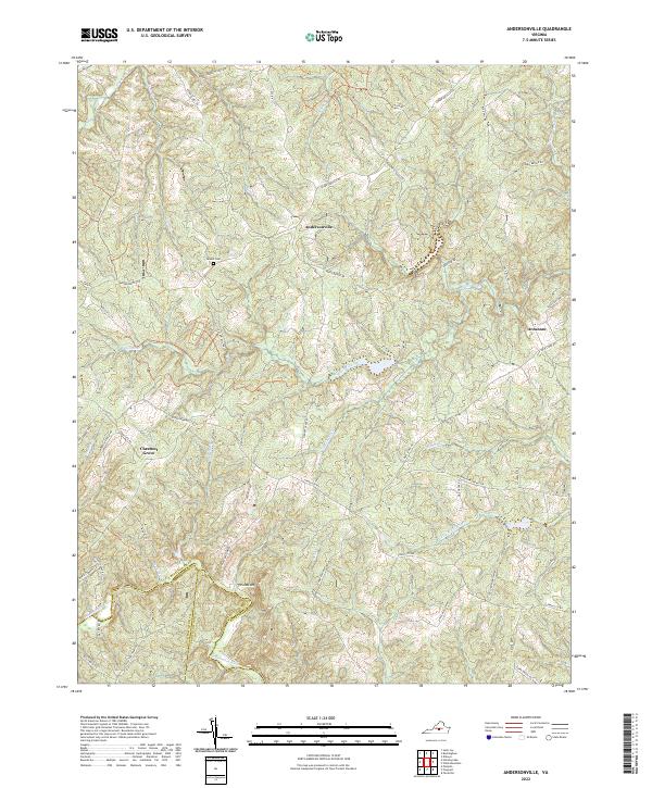
2022 Map of Andersonville
USGS Topo · Published 2022About this map
Andersonville sits at a geographic crossroads in Central Virginia, where the headwaters of the Willis River and Little Willis River carve through the Piedmont landscape. This 2022 survey captures a rural terrain defined by historical property lines and a network of secondary roads that still bear the names of 19th-century industry, such as Garrett Mill Rd, Perkins Mill Rd, and Rock Mill Rd. The map provides a precise look at the convergence of three counties—Buckingham, Appomattox, and Prince Edward—along the southern bank of the Appomattox River.
Find a feature on this map
54 named features on this map. Tap any name to fly to it.
Don’t see what you’re looking for? This feature index may not catch every label — zoom into the map to look around manually.
Map Details
Editions of this 2022 Andersonville Map
This is the sole edition of this map. No revisions or reprints were ever made.
Other maps of this area

1891 · Palmyra
USGS Topo · 1:125,000

1891 · Farmville
USGS Topo · 1:125,000

1892 · Buckingham
USGS Topo · 1:125,000

1892 · Appomattox
USGS Topo · 1:125,000

1893 · Farmville
USGS Topo · 1:125,000

1895 · Palmyra
USGS Topo · 1:125,000

1897 · Palmyra
USGS Topo · 1:125,000

1947 · Roanoke
USGS Topo · 1:250,000

1950 · Dillwyn
USGS Topo · 1:62,500

1958 · Farmville
USGS Topo · 1:62,500