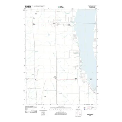
2010 Map of Andover
USGS Topo · Published 2010About this map
Andover and Williamsfield anchor this portion of the Ohio-Pennsylvania border region, where the Shenango River landscape defines the eastern boundary. The map illustrates a rural network of farm-to-market roads such as Stanhope Kelloggsville Rd and Ridge RD, punctuated by numerous family and community burial grounds including West Lawn Cemetery and Roberts Cemetery. This area near the Pymatuning reservoir system shows a distinctive mix of long-standing agricultural plots and more modern developments like Andover Country Meadows.
Find a feature on this map
47 named features on this map. Tap any name to fly to it.
Don’t see what you’re looking for? This feature index may not catch every label — zoom into the map to look around manually.
Map Details
Editions of this 2010 Andover Map
This is the sole edition of this map. No revisions or reprints were ever made.
Other maps of this area

1905 · Andover
USGS Topo · 1:48,000

1906 · Linesville
USGS Topo · 1:62,500

1907 · Andover
USGS Topo · 1:62,500

1907 · Kinsman
USGS Topo · 1:62,500

1908 · Shenango
USGS Topo · 1:62,500

1908 · Linesville
USGS Topo · 1:62,500

1950 · Cleveland
USGS Topo · 1:250,000

1956 · Cleveland
USGS Topo · 1:250,000

1958 · Greensville West
USGS Topo · 1:24,000

1959 · Hartstown
USGS Topo · 1:24,000