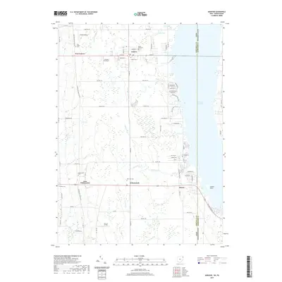
2019 Map of Andover
USGS Topo · Published 2019About this map
Andover and Williamsfield anchor this rural landscape along the state line where Ashtabula County meets Pennsylvania. The eastern edge of the quadrangle is dominated by the expansive Pymatuning Reservoir, a massive water body that reshaped the local geography and created features like Stocker Island. Away from the water, the terrain is characterized by a series of north-south drainages including McMichael Cr, Stratton Cr, and Black Cr, which flow through a network of small agricultural settlements and crossroads.
Find a feature on this map
78 named features on this map. Tap any name to fly to it.
Don’t see what you’re looking for? This feature index may not catch every label — zoom into the map to look around manually.
Map Details
Editions of this 2019 Andover Map
This is the sole edition of this map. No revisions or reprints were ever made.
Other maps of this area

1905 · Andover
USGS Topo · 1:48,000

1906 · Linesville
USGS Topo · 1:62,500

1907 · Andover
USGS Topo · 1:62,500

1907 · Kinsman
USGS Topo · 1:62,500

1908 · Shenango
USGS Topo · 1:62,500

1908 · Linesville
USGS Topo · 1:62,500

1950 · Cleveland
USGS Topo · 1:250,000

1956 · Cleveland
USGS Topo · 1:250,000

1958 · Greensville West
USGS Topo · 1:24,000

1959 · Hartstown
USGS Topo · 1:24,000