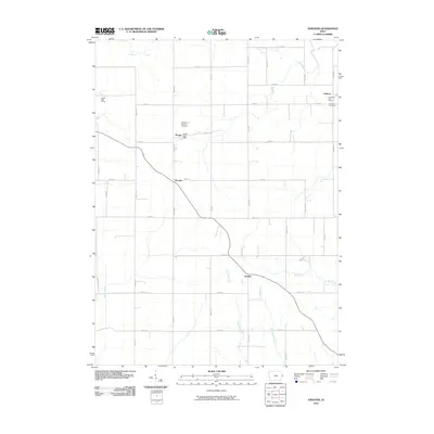
2010 Map of Andover
USGS Topo · Published 2010About this map
The agrarian grid of Clinton County defines this landscape, where the small settlements of Andover and Bryant serve as local hubs for the surrounding farming community. This 2010 survey shows a well-established network of section-line roads, such as 140th ST and 390th Ave, that organize the terrain between the Elk River and Brophy Creek. The presence of the Bryant Post Office and Andover Post Office highlights the persistent civic importance of these unincorporated villages.
Find a feature on this map
38 named features on this map. Tap any name to fly to it.
Don’t see what you’re looking for? This feature index may not catch every label — zoom into the map to look around manually.
Map Details
Editions of this 2010 Andover Map
This is the sole edition of this map. No revisions or reprints were ever made.
Other maps of this area

1891 · Clinton
USGS Topo · 1:62,500

1892 · Goose Lake
USGS Topo · 1:62,500

1892 · Savanna
USGS Topo · 1:62,500

1894 · Goose Lake
USGS Topo · 1:62,500

1894 · Clinton
USGS Topo · 1:62,500

1899 · Clinton
USGS Topo · 1:125,000

1935 · Miles
USGS Topo · 1:62,500

1941 · Miles
USGS Topo · 1:62,500

1952 · Clinton
USGS Topo · 1:62,500

1952 · Savanna
USGS Topo · 1:62,500